Guide to Santa Barbara Hiking Trails in the Mountains and along the Beach
Most Santa Barbara hiking is done in the front range of the Santa Ynez Mountains. Generally, these hikes follow creekbeds up Mission, Rattlesnake, Romero, Cold Springs and Santa Ynez Canyons. We provide you with information on directions to the trailhead, distance of the hike, difficulty and any local tips to make your hike more enjoyable.
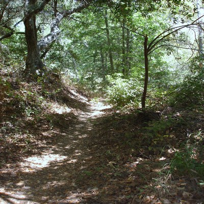
The hikes we profile are located in the Santa Ynez Mountain front-country. Please pack accordingly and don't forget to bring a cell phone, first-aid kit, topo map, plenty of water and appropriate shoes and clothing. Stay on the trail and keep alert for rattlesnakes and poison oak. These ancient Santa Barbara hiking trails have been traveled on by Chumash Indians, Franciscan monks from the Old Mission and early settlers searching for gold as well as hot springs to cure what ailed them.
Hiking on Santa Barbara's Beaches is a great way to experience our Mediterranean-like city. Below, we profile a couple of our favorites.
Finally, we take you to the Santa Barbara Botanical Gardens, where you can hike miles on well-maintained trails, never too far from a bathroom and your car.

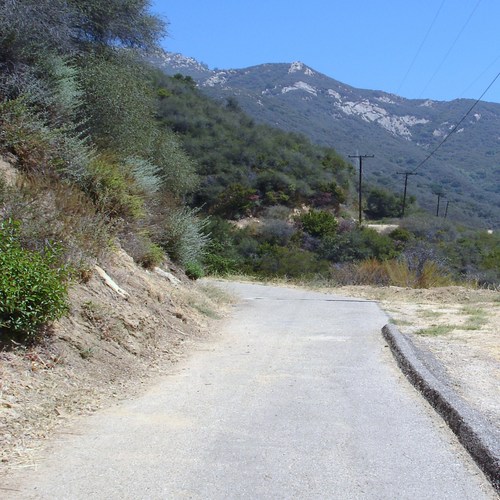
Mission Canyon's Tunnel Trail and Seven Falls is one of Santa Barbara's most popular hikes. Directions: From the Santa Barbara Mission, drive to Foothill Rd., turn right. Next to the fire station, turn left and follow Mission Canyon, keeping to the left, follow Tunnel Rd. up until the road ends. Park to the right side of Tunnel Rd. inside the white lines, so you don't get a ticket. Follow the old paved road up to the mouth of the canyon. The trailhead to the falls is found 3/4 miles beyond the end of tunnel Rd. Difficulty and Distance: moderate 3-4 mile hike with lots of rock hopping. Hike is best in winter and spring when water is running in Mission Creek.
Check-out this short video clip: it includes Tunnel Trail and Seven Falls!

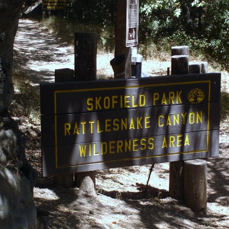
The Rattlesnake Canyon hike begins just after the stone bridge about fifty yards from the Skofield Park entrance(see map below). Follow the eastern fork of Mission Creek (called Rattlesnake Creek) up past cascading falls and crystal clear pools. Our suggestion for Rattlesnake Canyon is to climb the trail for ten, thirty, or forty-five minutes and turn around. The trail intersects with Tunnel Trail mentioned above. Might want to drive two cars and leave one at the Tunnel Trailhead if you plan to make the connection and descend to Tunnel Rd.

Coldsprings Trail is a cool and watery hike into Coldsprings Canyon above Montecito. This is a favorite Santa Barbara hiking spot.
Coldsprings Canyon is a moderate hike, approximately 3.5 miles to Motecito Peak shaded by overhanging alder branches. The hike begins just east of Cold Springs Rd. and Mountain Dr.(see map below). Again, one might hike up the creek from pool to pool for say 30 minutes and turn back down the trail. Or, hike the roundtrip to Montecito Peak for a total of approximately 7 miles.

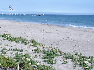
Leadbetter Beach at low tide is a Santa Barbara hiking "most favorite hike." Park in the free parking lot at Santa barbara Harbor. At low tide, walk the flat-sand beach all the way to Lighthouse Point. The hike takes about 1.5 hours roundtrip.
View Larger Map
Return from Santa Barbara Hiking to Santa Barbaradaytrip Home


